

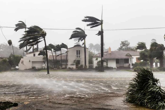
Forecasters say Tropical Storm Isaias will likely become a hurricane and strike the U.S. Gulf Coast within days, putting millions in the risk zone.
Story Snapshot
- National Hurricane Center projects Isaias will strengthen into a hurricane this week.
- Storm formed off eastern Mexico with sustained winds near 40 mph, moving west-northwest.
- Forecast cone shows a broad Gulf Coast threat corridor as guidance narrows.
- People often misread the forecast “cone,” which shows track uncertainty, not impact size.
Official Forecast: Strengthening To Hurricane
National Hurricane Center forecasters stated that Isaias is expected to strengthen quickly and reach hurricane strength by Thursday. The agency used clear language about rapid gains in wind speed as the storm stays over warm water. That guidance signals a higher risk window for coastal communities later this week. The center’s hurricane watches and warnings will follow as confidence grows in the track and timing. Residents along the Gulf Coast should prepare now, not later.
Public advisories placed Isaias about 285 miles west of Progreso, Mexico, early Wednesday. Maximum sustained winds were near 40 miles per hour, which is the threshold for a named tropical storm. Forecasters said the system was moving west-northwest, a path that lines up with a Gulf approach later this week. That starting point sets the stage for steady strengthening if wind shear stays low and ocean heat remains high.
Track Guidance: Wide Gulf Corridor For Now
Regional meteorologists flagged a northward turn as a likely next step. An upper-level trough over the Lower 48 could steer Isaias into a channel toward the central or eastern Gulf Coast by Friday or Saturday. The early range runs from Louisiana to the Florida Panhandle, which is a wide swath at this stage. That spread should tighten as more data flows into the models over the next one to two days.
People often focus on the “cone” graphic, which can mislead if read as an impact map. The National Hurricane Center designs the cone to capture about two-thirds of possible center tracks based on the last five years of forecast error. It does not show where wind, rain, surge, and tornadoes may hit, which can spread far outside the cone. Clear messages on this limit help families act with less confusion.
Preparedness: Simple Steps That Save Time
Coastal counties should use today and tomorrow to check plans. Families should confirm evacuation routes, refill medicines, top off fuel, and gather basic supplies like water, food, batteries, and cash. Local leaders should review shelter plans and backup power for clinics and water systems. Early moves cost less and save lives when warnings go up. Oil and shipping along the Gulf may slow ahead of landfall windows, which can ripple into prices and supply chains.
#ALWx / #FLWx / #MSWx
HURRICANE Isaias / Isaias
NWS National Hurricane Center Miami FL
100 AM CDT Thu Oct 08 2026…MULTIPLE HURRICANE HUNTER AIRCRAFT INVESTIGATING ISAIAS AS IT
MOVES EAST-NORTHEASTWARD…
…ADDITIONAL INTENSIFICATION EXPECTED…SUMMARY OF 100 AM… pic.twitter.com/haV3K17bsN
— Hurricanes • Typhoons • Cyclones (@GlobalCyclones) October 8, 2026
Federal, state, and local agencies will coordinate as the forecast narrows. Emergency managers on both sides of the political aisle know storms do not care about party. They need clear facts, fast decisions, and honest communication. Many Americans feel leaders often talk past them. In a storm, that habit can be dangerous. Officials should stick to plain language, avoid hype, and give times, places, and actions people can follow without guesswork.
Sources:
washingtontimes.com, weather.gov, abc7.com