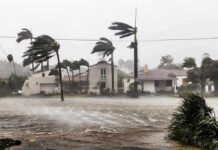

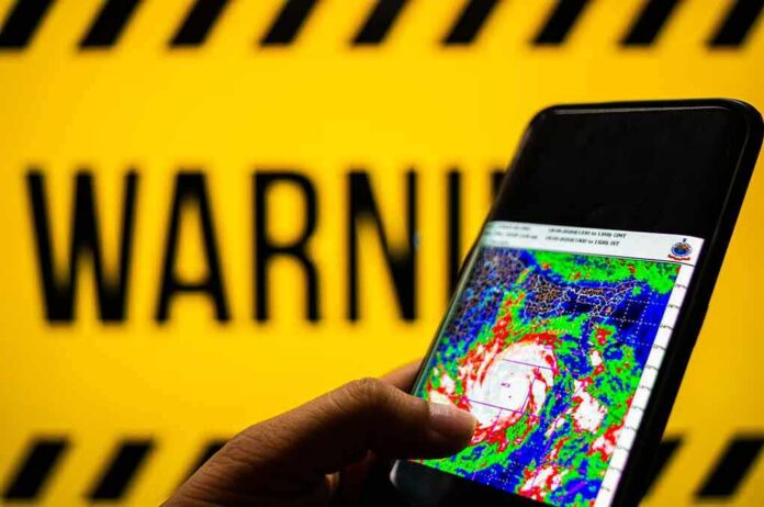
Federal forecasters warned of life-threatening storm surge as Hurricane Isaias targeted the northern Gulf Coast with hurricane and storm surge warnings in place.
Story Highlights
- National Hurricane Center issued hurricane and storm surge warnings along the northern Gulf Coast.
- Forecasts called for dangerous inundation from the Mouth of the Mississippi River to the Suwannee River.
- Landfall timing centered on late Friday into early Saturday with strengthening winds.
- Officials urged residents to understand risks extend outside the forecast “cone”.
Hurricane And Surge Warnings Span The Northern Gulf
The National Hurricane Center (NHC) placed a wide stretch of the northern Gulf Coast under a Storm Surge Warning and a Hurricane Warning. The warnings covered areas from the Mouth of the Mississippi River to the Suwannee River for surge, and from Ocean Springs, Mississippi, to the Bay and Gulf County line in Florida for hurricane conditions. These products signal a high risk of dangerous water rise and damaging winds within about 36 hours.
Earlier NHC advisories told residents in the Yucatan Peninsula and the United States northern Gulf Coast to monitor the storm closely. Officials said hurricane watches would likely be required, which were later upgraded to warnings as the forecast sharpened. Local National Weather Service pages also highlighted active hurricane and storm surge watches for parts of the northern Gulf Coast, reinforcing the urgency across multiple states.
Timing And Intensity Expectations Into Landfall
Forecast discussions and live updates pointed to landfall late Friday or early Saturday. Private forecasters projected a strong Category 3 at landfall, with a growing flood threat spreading inland after the center crosses the shoreline. The NHC’s continued hurricane warnings along Mississippi and the Florida Panhandle signaled confidence in a dangerous wind event near the coast, with tropical storm conditions extending well beyond the center.
Local outlooks along the Florida Panhandle described shifting cones and pinpointed potential landfall near Pensacola Beach. Officials warned of peak storm surge in the five to seven foot range in some bays, and notable odds for tropical storm force winds in nearby communities. These updates reflect normal forecast refinement as new data arrives, not a retreat from the threat. People across the warning zone were told to complete preparations before conditions worsen.
Why Surge Messaging Matters As Much As The Track
Storm surge remains the deadliest hurricane hazard, and the NHC’s surge products are built to show where life-threatening inundation is possible. The agency defines a storm surge warning as a danger of life-threatening water moving inland from the shore, usually within 36 hours. Because wind, pressure, and coastline shape drive surge, areas far from the exact center can still flood. That is why officials stressed risks from Louisiana through Florida under the surge warning.
10:00 AM CDT – MAJOR HURRICANE ISAIAS UPDATE
ISIAIS aims for the northern Gulf Coast. Now a major Category 3 storm – with top winds 120 mph. Pressure: 959 mbs. Located 195 miles south of Pensacola. Moving NNE at 16mph. Expected to turn toward north this evening. It now… pic.twitter.com/m22aTS5mXu
— Rich Thomas (@RichThomasWX) October 9, 2026
Many people still mistake the “cone of uncertainty” as a safety boundary. The cone only shows where the center is likely to track about two-thirds of the time; hazards can reach far outside it. The lesson is simple and urgent: do not key your plans to the black line or cone edges. Base your choices on local surge and wind risk, evacuation orders, and timing guidance from the NHC and local emergency managers.
🌀 Gulf Coast – USA
Hurricane Isaias is forcing evacuations across Florida, Alabama and Mississippi, with storm surge potentially reaching 7 feet and rainfall up to 15 inches. The threat extends beyond the point of landfall, since flooding, tornadoes and prolonged power outages… pic.twitter.com/GK0yrpXyEt
— DARKCOM (@DARKCOMBUZZ) October 9, 2026
Sources:
youtube.com, nhc.noaa.gov, journals.ametsoc.org, weather.gov